Task-2.1 : Seismic Microzonation of Srinagar, Uttarakhand

Task – 2.1: Seismic Microzonation of Srinagar, Uttarakhand Task Leader:-  P.K.S. Chauhan Objective: Seismic Microzonation of Srinagar, Uttarakhand using geological, geophysical, geotechnical, seismological and liquefaction studies. Scope of the work: Selection of SMA sites, Geological Investigation, Procurement of SMAs Preparation of Site and installation of SMA , Microtremor Data collection and analysis Geophysical and Geo-technical Investigation…

Task-1.8 : Bio-engineering – A phytoremediation option for the mitigation of landslide and slope stability problems in the hilly regions

  Task-1.8 : Bio-engineering – A phytoremediation option for the mitigation of landslide and slope stability problems in the hilly regions Task Leader:-  Asha A. Juwarkar Objective: The aim of the proposed study is to integrate live materials, mainly plants and microorganisms, to address the problems of environmental management and sustainable development and utilization of vegetation,…

Task-1.7 : Landslide hazard information system and design of innovative measures for landslide control

Task – 1.7: Landslide hazard information system and design of innovative measures for landslide control Task Leader:-  P.S.Prasad, Kishor Kumar Objective: Landslide hazard information system of a part of Uttarakhand. Identification and selection of a typical/strategic/critical landslide as a “pacesetter example”. Detailed investigation, instrumentation, monitoring and analysis of a selected landslide in Rudraprayag Guptkashi region of Garhwal…

Task-1.6 : Comprehensive geo- investigation and control measures for a landslide in Chamoli-Joshimath region of Garhwal Himalaya

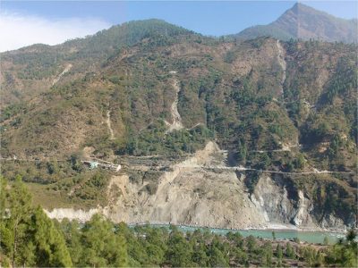
  Task – 1.6: Comprehensive geo- investigation and control measures for a landslide in Chamoli-Joshimath region of Garhwal Himalaya Task Leader:-  S. Sarkar Objective: The objective of the proposed study aims to carry out a comprehensive study involving geological, geotechnical and geophysical investigations, and mathematical modeling of an active landslide of Chamoli-Joshimath region of Garhwal Himalaya…

Task-1.5 : Development of Optical fibre based Multiplex Sensor Network System for Landslide Monitoring and Implementation in Northeast region of India

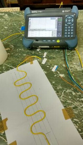
Task – 1.5: Development of Optical fiber based Multiplex Sensor Network System for Landslide Monitoring and Implementation in Northeast region of India Task Leader:-  P. C. Sarmah Objective: Design and development of an optical fiber based sensor usable for monitoring of landslide. Development of laboratory prototype multiplex network monitoring system for landslide and early   warning Field…

Task-1.4 : Landslide Monitoring using InSAR

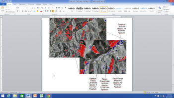
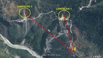
Task – 1.4: Landslide Monitoring using InSAR Task Leader:-  S.K. Mittal Objective: The objective of proposed activity is to study the selected landslide site using InSAR and to correlate findings with other methodology (like GPS, optical fibre, Instrumentation, bio-measure) being followed by other participating labs. Scope of the Work: Finalization of vulnerable locations of selected site…

Task-1.3 : GPS based Integrated Landslide Modelling for hazard assessment

Task – 1.3 : GPS based Integrated Landslide Modelling for hazard assessment Task Leader:-  Sridevi Jade, M.S.M.Vijayan Objective: To develop a methodology and Integrated landslide model for hazard assessment in landslide prone zones of Chamoli-Joshimath region of Garhwal Himalaya based on movement pattern/dynamic behaviour of landslides using differential GNSS. Scope of the Work: Identification of study area…

Task-1.2 :Early Warning Instrumentation & Decision package for a landslide in Chamoli-Joshimath region of Garhwal Himalaya

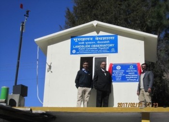
Task – 1.2: Early Warning Instrumentation & Decision package for a landslide in Chamoli-Joshimath region of Garhwal Himalaya Task Leader:-  Dr. Y. Pandey Objective: Development of a region specific operational Landslide Early Warning System based on multi parameter trigger thresholds. The system will include sensing instruments, real time data transfer system, decision making mechanism & the…

Task-1.1 : Landslide Hazard and Risk Assessment of Chamoli-Joshimath region, Garhwal Himalaya

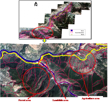
Task – 1.1: Landslide Hazard and Risk Assessment of Chamoli-Joshimath region, Garhwal Himalaya Task Leader:-  D.P. Kanungo Objective: The proposed task will focus on large scale landslide hazard and risk mapping in Chamoli-Joshimath region of Garhwal Himalaya Scope of the Work: Geological & geo-morphological data base generation through field mapping and remote sensing data analysis &…